

A couple of my favorite gadgets just got married 🙂 I’m a Nikon shooter and an iPhone user. It’s rare that I’m ever anywhere shooting without my iPhone on my belt. So when XEquals Corp sent me a message about their new blueSLR Wireless Camera Control and GPS Encoding solution I was all ears.
Wireless Control for my Nikon DSLRs

Once you plug in the blueSLR into your Nikon D3100, D5000, D90, D3(s), D200, D300(s) or D700, you can then fire up their free iPhone App. With the blueSLR App you can then remote control your shutter release, auto focus and even time lapse or bracketed exposure from up to 300 feet away via bluetooth. This is the feature that most of the initial announcements were touting and reviewers were so excited about. While I definitely think this is cool, it’s not what excites me most about this solution…
GPS Geotagging is where it’s at – Literally

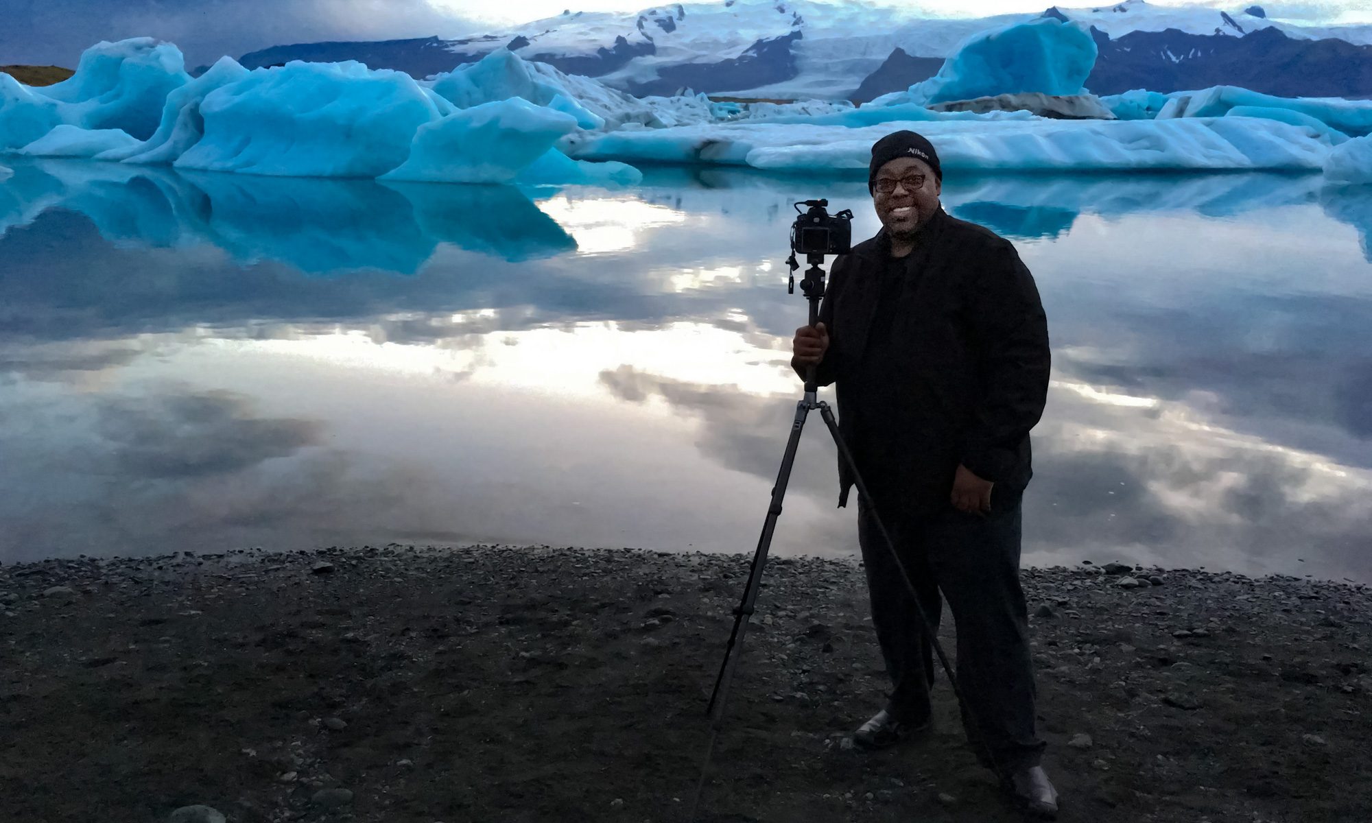
Click the above shot to see where it was taken – Nikon D700, Nikon 28-300mm lens, blueSLR and iPhone 4
I’ve reviewed many Nikon compatible GPS attachements here over the years and while they have all worked well, they all have one thing in common. They attach to your camera via a cable and have to either sit in the hot shoe or on your strap. They also have to acquire a signal from the global positioning satellites in the sky. Yep that means you’ve got to be outside to grab a signal before you can go inside with the newer units and continue shooting. However, the iPhone’s “Location” feature works off not only GPS satellites but also cell towers and WiFi hotspot locations.

Click the above shot to see where it was taken – Nikon D700, Nikon 28-300mm lens, blueSLR and iPhone 4
This means that your iPhone (iPad or iPod touch) knows where you are even if you’re inside a building. The blueSLR solution can use this Location information and input the info right into (the EXIF data) your shots as you take them with your Nikon compatible camera! Woohoo! Finally! Also unlike all the other solutions out there XEquals prides themselves on their “flush with the camera” design. They’ve gone out their way to make the attachement as unobtrusive as possible. I applaud this effort!
How well does it work?

images displayed in Adobe Photoshop Lightroom 3 with clickable GPS button that takes you to Google Maps
I’m very happy with the way this gadget works. The first thing you’ll want to do is (it’s in the instruction card that comes with the device) change the default metering timeout on your camera from 6 seconds to something like 30 minutes. Otherwise you’ll be quickly frustrated by the device constantly timing out before you get to pair it with your iDevice or use it with the App. Once you make that adjustment in your camera, it looks and acts like any other GPS/Remote Shutter Release on your camera.

My Nikon D700 has GPS support built-in with a menu to display the status of the attached module. This is one of the reasons I use Nikon over Canon and others. With that said, it’s 2011 and I still can’t believe that ALL camera manufacturers don’t offer a built-in option! More power to XEquals!
Since I don’t have to wait for a satellite signal to be acquired I can start shooting right away! Both the remote features and the GPS features work as advertised. The iPhone app also takes avantage of the iPhone’s built-in compass for heading info. Sweet!
What about battery life? To be honest I haven’t had it/used it long enough to judge the impact on battery life over other GPS units. I know that Nikon has done a lot of work in their latest firmware to reduce the battery drain from GPS devices so I’m not really worried about it.
How’s the GPS accuracy? Keep in mind that it’s only as accurate as your iOS device. iPhones and iPad WiFi+3G devices are going to be the most accurate because they actually have GPS chips built-in. iPod touch and WiFi only iPads will have to rely on Wi-Fi triangulation which could be an issue in the boonies. In my limited testing the shots were geotagged very accurately using my iPhone 4.
How would I redesign it?

my Kirk L-Bracket has to come off to use the blueSLR
There really isn’t anything that is majorly wrong with this device. I do like it A LOT! However, with the “flush” (a blessing and a curse) design, this means that the port door on my D700 is covered while I’m using it. It also meant that I had to remove my L-bracket for my tripod head since it covers that part of the camera. Since it is a remote trigger, most likely I’d want to use it while it’s on my tripod. This would mean having to go back to the standard tripod mount instead of my L-bracket . Not the end of the world, but I would like to see the next version offer a “swivel” feature with a lock. If I could swivel it up or out then it would be out of the way of everything that I wanted to attach. For a moment I was going to complain that it didn’t offer a 10 pin passthrough on my D700. Then I realized that the only time I’ve needed a passthrough on my other GPS units was to attach a shutter release. Duh! This is already a “wireless” remote shutter release too. However, if you have some other accessory that uses the 10 pin terminal, then you’re going to have to decide which one you want to use.
The Bottom Line
Kudos to XEquals for making a killer device/App combo! I know that there were some manufacturing issues with the Nikon D7000 model and as soon as that one is available It will undoubtedly become my default travel camera GPS unit. If you’re not waiting on the D7000 model, then I wouldn’t hesitate in getting one of these TODAY!
You can learn more about blueSLR and order directly from their site here.
Get the App for your iPhone, iPad or iPod touch for free here from the ![]()
See my blueSLR App review here.
I love it when you find these jewels that I can spend my money on….you are killing me!
Sounds like a wonderful add-on. Thanks for writing it up.
BUT is geotagging only done when using the iPhone app? If the DSLR shutter button is used (or remote release, which is what I use at the telescope when using my D7000 for astrophotography), does the image still get the lat/long? And does the app need to be running? What if the iPhone is asleep? If the iPhone and app have to be used to take the image, then the usefulness of blueSLR for geotagging is somewhat limited. I’ll check their web site for this information, but having it mentioned in the review would be good info for readers.
1) Yes Geotagging is being done with the App when either shutter button is pressed.
2) yes the app has to be running and a sleeping iPhone works fine as long as you set that pref in the app and as long as the app is in the foreground.
I bought an N2 after reading your posts last year. Lost it in the Canyons of Utah while bushwhacking through the tules. Contacted Solmeta and asked to have them ship a new N1 without the D90 cable, they were great about getting to me quickly.
This appears to be a nifty device for urban dwellers and tourists.
It is my understanding that the unlike a Solmeta N1 or N2, this device has no GPS module/radio inside.
An extended multi-day backpacking trip would require an iPhone and a means to charge.
I don’t see it in the wilderness. The N1 ($110) and N2($160) can get power from the camera after internal power runs out. Take an extra battery for the D90 and you can keep embedding you GPS info.
I am not trying to slam the product (remote release is trick), just sayin’…
I bought an N2 after reading your posts last year. Lost it in the Canyons of Utah while bushwhacking through the tules. Contacted Solmeta and asked to have them ship a new N1 without the D90 cable, they were great about getting to me quickly.
EDIT
I bought an N2 after reading your posts last year. Lost it in the Canyons of Utah while bushwhacking through the tules. Contacted Solmeta and asked to have them ship a new N1 without the D90 cable, they were great about getting to me quickly.
This appears to be a nifty device for urban dwellers and tourists.
It is my understanding that the unlike a Solmeta N1 or N2, this device has no GPS module/radio inside.
An extended multi-day backpacking trip would require an iPhone and a means to charge.
I don’t see it in the wilderness. The N1 ($110) and N2($160) can get power from the camera after internal power runs out. Take an extra battery for the D90 and you can keep embedding you GPS info.
I am not trying to slam the product (remote release is trick), just sayin’…
Hey Terry,
Does this work with the D7000??
See the part about the D7000 in the last part of the post 🙂
Dear Terry,
it’s nice to be able to use your iPhone with your DSLR for Geotagging but as BIG as the blueSLR is, the GPS receiver could almost already be integrated! Don’t you think? There are much smaller similar products on the market. Of course, they cannot communicate with the iPhone yet but I am sure it won’t take long…
and as soon as they are here I will check them out 🙂
Terry, Another device I bought because I saw it on your site. On it’s way. One caveat I will assume is: You need to have the iphone 4 out in the open, not in your pocket to get a GPS fix. I understand it can read cell tower triangulation and local wifi databases but for GPS it needs to see the sats. How are you keeping your phone out while you’re shooting? I use another app I got from you called Runkeeper Pro. It needs to see the sats to get a GPS fix so I bought a very inexpensive wrist band for the iphone to run with.
Or am I mistaken and iphone can get GPS fix through pants pocket? (not cell or wifi reading but GPS) thanks in advance.
Love the idea of readings via cell for shooting indoors.
Jim
Jim,
GPS is GPS and does require the device to SEE the satellite. no magic there. Here’s an article on how the iPhone determines your location using all 3 ways: http://support.apple.com/kb/HT1975
As far as taking the phone out of my holster, I haven’t had to do that to get a fix. The only time I could imaging having to do that is when there is nothing around in terms of cellular or wifi signals (in the boonies) except an open sky. In that case the iPhone would need to be able to see the sky as would any other GPS device.
My point here is that this solution can be used in ways that GPS ONLY solutions can’t!
Thanks. The most accurate reading is from GPS, that’s why I prefer it among the 3. The other two can give you a “in the ballpark” reading on the map. But this still rocks. Being able to tag indoors, rocks.
Just for your information: good GPS loggers these days don’t need to see the sky. I am using my GPS logger while hiking and I just leave it in my pocket or backpack. It works fine. It even works indoors sometimes.
Terry, you are an awesome teacher, I really enjoy your videos, plus you make it easy to understand! I am an Interior Designer and needless to say I love creative work. I find myself enjoying graphic designs for advertising, marketing, brochures, my website, etc. for my business. However I’ve been using old software (Photodraw V2 & Frontpage 2003 (yes very old)) and I ready to make major changes. I have been intrigued by CS for a couple of years now and I am ready to start learning. Since I have never used CS, would you recommend beginners to start learning with CS1, or just jump into CS5?
I appreciate your help very much.
B.D.
Hi,
Thanks!
Unless you’ve already got the older version of have some incredible deal on the older version, I would go ahead and start with CS5. Many things that you may spend time learning/doing the hard way in CS1, may be easier, better in the current version.
Hey Terry, thanks for posting this! I could have used this several times in the past week. Couple questions; does it display your meter reading in the app? Also I’m wondering if you might be able to measure the unit for me? I have a RRS bracket but it slides over so you can access the ports, I’m wondering if it will fit in that space. Thanks!
so my question is if you are going to take a picture with the d700 and want a remote shuts will this work?
Thanks